Drought Resilience - River Conservation & Restoration
Scroll ↓

Connections and Disconnections in Sociohydrosystems Affected by Climate Change (HYDECO)
2022 -2024
The HYDECO research project, funded by the CNRS (French National Research Center) and the INEE (Institute for the Environment) through the Labex DRIIHM, is an interdisciplinary and multi-site project. The research project relies on the network of Human-Environment Observatories (Observatoires Hommes-Milieux, OHM). The relationship between societies and their hydrosystems can be understood as a series of connections and disconnections that occur in all domains (e.g., hydrological, geomorphological, ecological, etc.) and dimensions (e.g, longitudinal, vertical, lateral). The use of watercourses and water resources creates material and symbolic connections which leads water stakeholders to also consider the sociological and political, aesthetic and spiritual dimensions of the socio-hydrosystem. However, the development of physical (e.g, dams) and social infrastructures (e.g, waterbodies are so artificialized that local residents forget about their existence) generates important disconnections. As a result, recent water and environmental policies emphasize the importance of connectivity between the various elements and compartments of socio-hydrosystems and focus especially on reconnection at all levels. The project aims to re-explore to the concept of socio-hydrosystem and its socio-ecological implications, by emphasizing both socio-cultural evolutions and functional interactions between all its components. To do so, it articulates the following theoretical frameworks: the visible/invisible opposition as developed in landscape theory, and the concept of tipping point coming from the fields of climate science, environmental sciences and ecology. The tipping point corresponds to a critical level of an external condition where a system shifts to an alternative state, which can be interpreted in certain cases as a catastrophic bifurcation. Are there thresholds beyond which the functioning of socio-hydrosystems will be irreversibly altered? Is it possible to predict them? Conversely, can connections/disconnections lead to a shift of socio-hydrosystems into radically different modes of functioning?
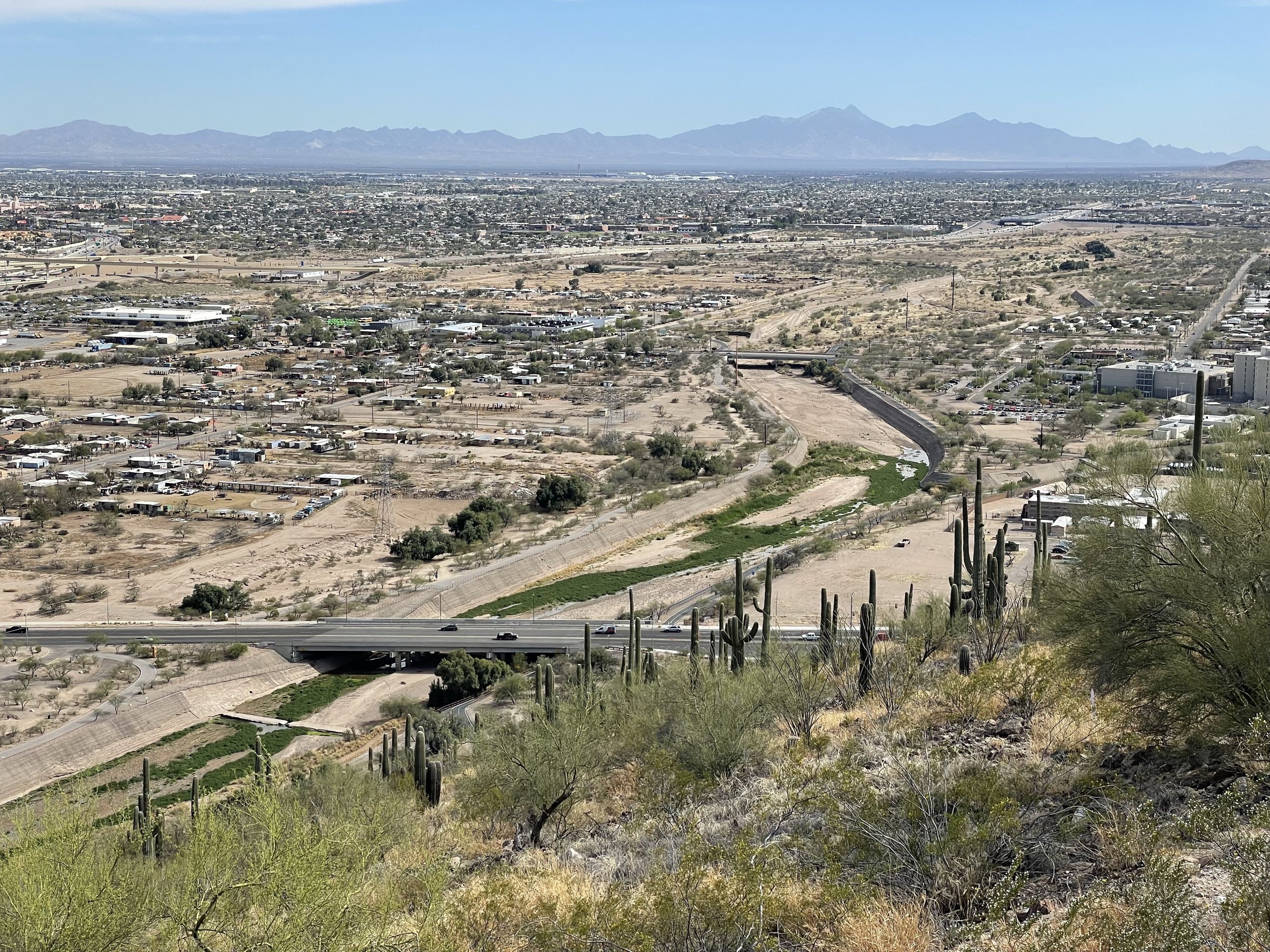
This research project includes 8 case studies: the Santa Cruz River in Pima County, Arizona; the Étang de l'Or in Southern France; the Biguglia Lagoon in Corsica; the Atlantic Lagoon of Aveiro in Portugal; the Rhône River; the Rhine River; the high-altitude lakes of the Ariège Pyrenees; and the Umiujaq watershed in Nunavik, Canada.
My role in this project primarily involved coordinating the various research activities conducted at the different study sites and mentoring the research assistants and interns hired for data collection, particularly for students in social sciences.
Main publication:
Boyer, A. L., Blanchon, D., Schmitt, L., Badariotti, D., Bedell, J. P., Beisel, J. N., ... & Le Tourneau, F. M. (2024). The social connectivity of subsurface flows: Towards a better integration of the vertical dimension in socio‐hydrosystem studies. Wiley Interdisciplinary Reviews: Water, 11(2), e1703. DOI: https://doi.org/10.1002/wat2.1703

The Rhône River in Lyon, France.
Keywords for the case study: severe drought & flooding - water temperature increase - habitat loss & fragmentation - riverbank erosion - pollution - water allocation conflicts

The Fessenheim hydroelectric power plant on the Rhine, Alsace, France.
Keyword for the case study: severe drought & flooding - pollution - nutrient loading and eutrophication - habitat loss & fragmentation - navigation & transportation

The case study conducted on the Santa Cruz River in Southern Arizona is the subject of a short documentary produced by Sonia Collavizza for CNRS Image, in partnership with Le Monde, a national newspaper in France. The video of this documentary in English and in French can be viewed on YouTube.
This video was the runner-up for the Best Professional Documentary Award at the Society for Range Management Conference, held in Sparks, Nevada, from January 28th to February 1st, 2024.

Lac de Vouglans Dam: This is the third largest dam in France. It stands at about 102 meters (335 feet) in height and creates the expansive Vouglans Reservoir

Sign indicating the Ain River, Champagnole, Jura.
My research interests also focus on struggles surrounding the preservation of water resources. In France, following the repression of an environmental march against large water reservoirs pumping water for irrigation in 2023, this type of activism has organized and become more visible. One of its main symbols is the figure of the beaver, as beavers symbolize industriousness, but also resilience, community-building, and harmony with nature (Photo taken in Lyon, June 2024).
LIVING THE AIN RIVER (FRANCE)
2013 - 2015
During my first year of the Master's program in Territorial Systems, Decision Support, and Environment at the École Normale Supérieure (2014), I worked as a Graduate Research Assistant on a research project titled "Living the Ain River from the 19th to the 21st Century". This research program, funded by the Zone Atelier Bassin Du Rhône (ZABR) and Electricité de France (EDF, the main electricity generation and distribution company in France), was part of the broader initiative of the Social Observation of Fluvial Territories. This project questioned the practices and values assigned to geographical locations, natural objects, and specifically the river and its margins. Understanding how individuals inhabit the Ain River and its margins raises the issue of the relationship between riparian practices and the meaning of places. Due to changes in the socioeconomic context and increased mobility of individuals, the recomposition of these practices and values has been significant since the end of World War II. It affects the relationships of identity/otherness, familiarity/strangeness, and here/elsewhere. How do individuals use the Ain River? What places are chosen? What meanings do the places practiced hold? To what extent do they serve as references for individuals' identities?
This project was structured around 3 main objectives: a) to assess the spatial variations of issues related to the Ain River as a whole, questioning potential contrasts (particularly between upstream and downstream) as well as common points, b) to grasp the plurality of representations of the actors of the Ain River and better understand the social system they organize, and c) to understand the temporal evolution of the uses and representations of the Ain River.
I collected 30 semi-structured interviews (10 with river managers; 10 with anglers; 10 with community members) and 20 mental maps of the Ain River Watershed. Results from my study were published here:
Boyer, A. L., Comby, E., Flaminio, S., Le Lay, Y. F., & Cottet, M. (2019). The social dimensions of a river’s environmental quality assessment. Ambio, 48, 409-422. DOI: https://doi.org/10.1007/s13280-018-1089-9
Release of clean recycled water into the Santa Cruz River at the Santa Cruz River Heritage Project, Irvington Outfall site, I-19 and Irvington Road (Tucson, AZ, August 2022)

Bi-national Beaver Survey organized by the Watershed Management Group on the San Pedro River in Southern Arizona (April 2024)
